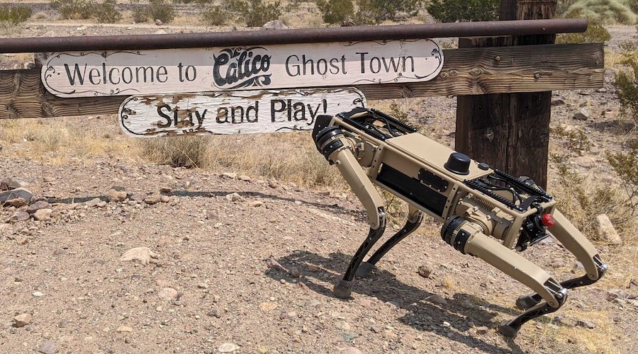
Geospatial technology company Carlson Software and Ghost Robotics announced that they have partnered to bring to life an all-terrain robotic dog capable of navigating and performing underground and surface scans.
In a press release, the companies said they have already completed a successful test using two of their respective systems. In detail, Carlson’s Void Scanner+ (VS+) was mounted to Ghost’s Vision 60 quadrupedal unmanned ground vehicle (Q-UGV) and remotely operated to conduct scans throughout an underground tunnel.
“The VS+, a product of Carlson LMD, uses time-of-flight laser measurement to map the shape, position, and spatial location of voids, which helps ensure both the safety of personnel and the protection of stock and underground sites,” the media brief states, “Based on its specifications, it was the perfect partner for Ghost’s Q-UGV. The VS+ has an onboard battery and Wi-Fi connectivity with a 200 point-per-second scan rate, a 360-degree horizontal scan, and a vertical scan extent of 270 degrees capability.”
Following positive results from this initial trial, the firms will work on creating solutions that marry the robotic dog with precision laser measurement systems typically used in mining, quarrying, exploration, and mapping environments.
